

Severe Storms and Tornado Risk Loom Over Central US This Weekend
Want the full story?
Read the complete article at KVIA
AI Summary
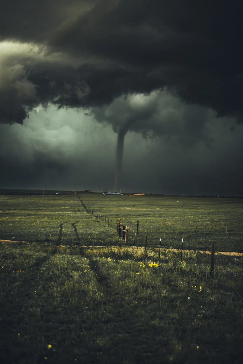
A significant outbreak of severe thunderstorms is forecasted across the central United States through Tuesday, with a high risk of tornadoes rated EF3 or stronger. This weather pattern marks a dramatic change from the previously calm start to May, driven by a powerful jet stream. The most intense tornado threat is expected Sunday evening and Monday afternoon, particularly affecting areas from central Kansas to southeastern Nebraska. Additionally, a critical wildfire risk has been issued for the Southern High Plains, where dry and windy conditions could exacerbate fire spread. Residents should remain vigilant and stay updated on weather alerts as conditions evolve.
Key Details: • Severe thunderstorms expected from Sunday to Tuesday, with peak tornado risk Sunday evening and Monday afternoon. • Areas at highest risk include central Kansas and southeastern Nebraska. • Critical wildfire threat in the Southern High Plains, including parts of Texas and New Mexico. • Sustained winds of 25-30 mph with gusts up to 50 mph will increase fire danger.